Navigation
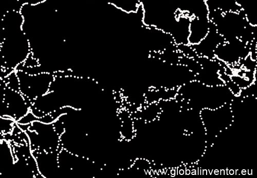
One of the most significant advances in modern time was the navigation. The triumphal procession begun with the invention of the compass, but navigation itself has a longer tradition. I made some experiments with the Global Positioning System. The vertical scaling is a bit different then traditional views but have a look: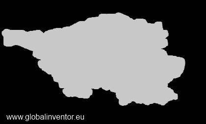
This is the German state "Saarland". I used the OpenStreet Map data set. Next, I developed a road map for a small section:
No interpolation was applied for smooth roads, just the real point measurements were drawn. It was not my intention to create a human viewable map. However, I cannot present all of my work here but have a look in my tracking experiment:
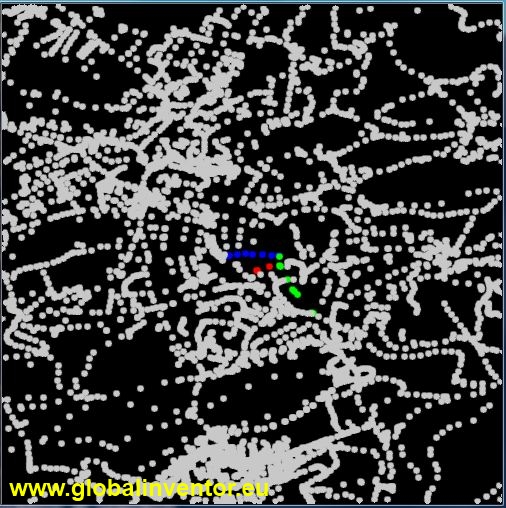
The next picture is a map of part of Saarbrücken (the upper right site):
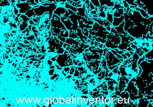
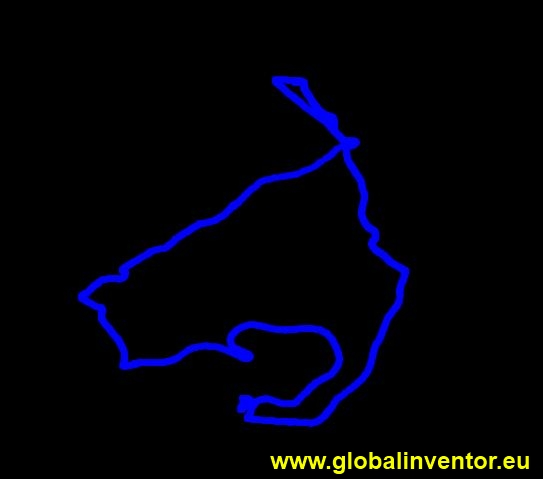
If you select a few streets, it looks just like art: